Local Cities & Towns
Enjoy and Explore the Mini-Cassia Area
There truly is something for everyone in the Mini-Cassia area. Whether you are looking for adventure in the great outdoors, exploration into history, a neat little boutique, or just some great food; we have it here!
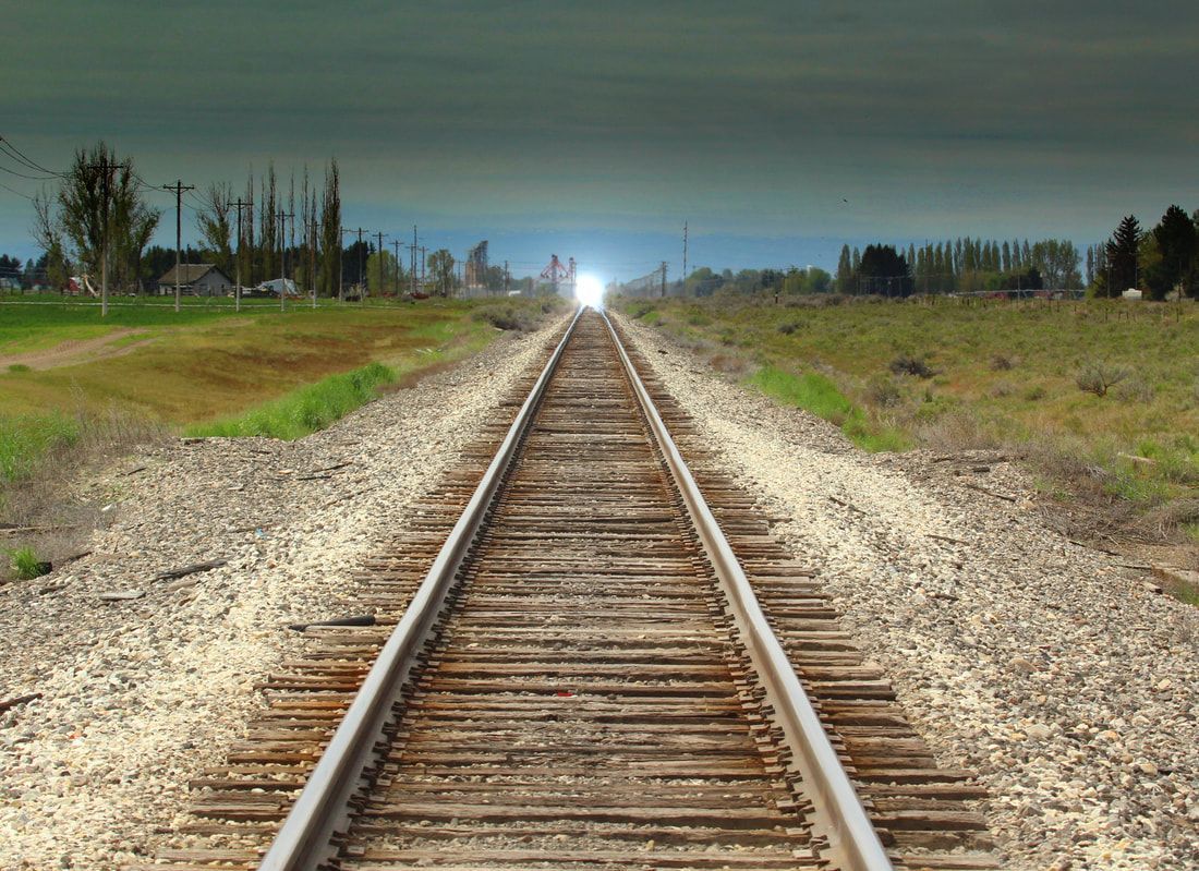
Mini-Cassia is home to 13 towns plus 7 state & national parks, forests, and reserves. The area boasts Pomerelle Resort, with the longest season and most snowfall, as well as the best water skiing area on the Snake River. There is never a dull moment with the multitude of events from festivals and fairs to tournaments and triathlons. The Mini-Cassia area has something for everyone! Come and stay awhile!
For brochures or questions,
contact the Mini-Cassia Chamber of Commerce.
Phone: (208) 679-4793
Email: info@minicassiachamber.com
City of Acequia
Nestled four miles east of Rupert, Acequia boasts only a few more residents than its neighbor to the east, Minidoka. About 110 people call Acequia home year-round, said the city's recently retired clerk, Eldon Stephenson. In 1904 the settlement was called Sherrer, after one of its first settlers. It was a railroad siding for unloading settlers' livestock, machinery and supplies when the Minidoka Dam was completed and water began to run through the canals to surrounding farmland. The name was changed to Acequia in 1907.
City of Albion
The original Cassia County seat, Albion is set in a quiet mountain valley at the base of Mt. Harrison, about 18 miles southeast of Burley. As a tourist destination, the town is the gateway to skiing at Pomerelle Mountain Resort, camping and fishing at Lake Cleveland and historical study on the City of Rocks Backcountry Byway. The historic campus of the former Albion State Normal School is a popular attraction, and regular events are held in the city park. The city library is open Saturdays, as is a Normal School museum on campus.
Office Phone:
(208) 673-5352
Population: 275
www.albionidaho.org
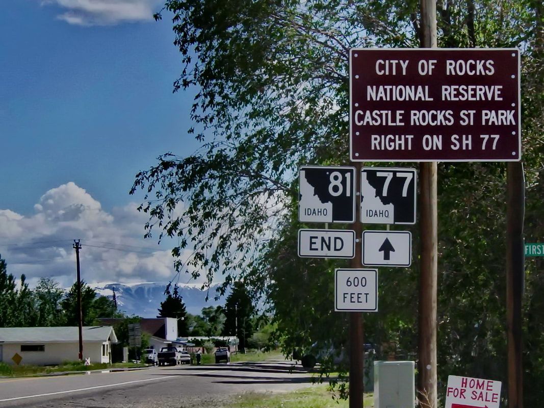
Cities of Almo & Elba
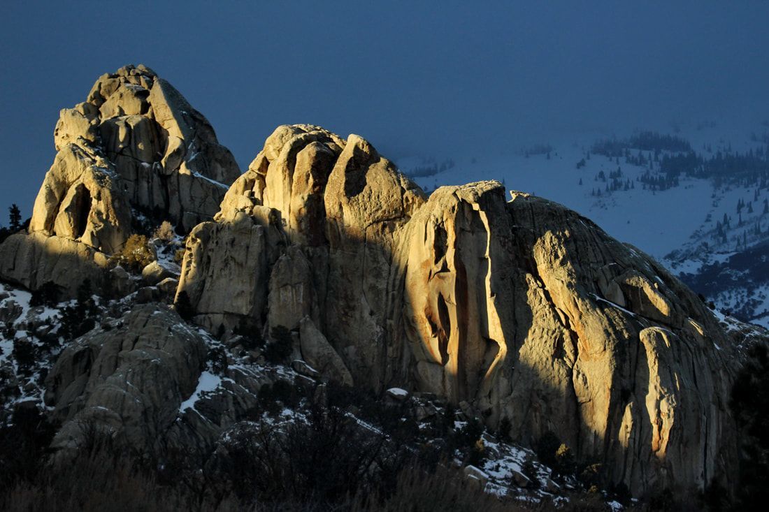
While these two communities are separated by a lot of beautiful countryside, they share a common ranching and pioneering heritage that binds them together. Nestled at the base of Cassia County's highest peaks, Elba is about 32 miles southeast of Burley, and Almo is another 12 miles south of Elba along the City of Rocks Backcountry Byway. With some of the best scenery in Mini-Cassia, the Elba-Almo valley is a popular weekend escape. Almo is situated at the entrances to both City of Rocks National Reserve and Castle Rocks State Park. Both parks draw rock climbers from around the world. The towns have a wealth of pioneering heritage with many signs still visible today. Remaining small and committed to a Western way of living, much in Almo and Elba has remained unchanged for generations.
For more information visit Castle Rocks State Park
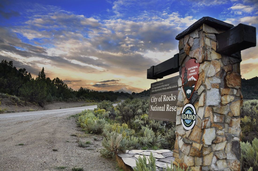
For more information visit City of Rocks National Reserve
Mayor: Steve Ormond
City Council: Casey Anderson, John Craner, Jon Anderson, Bryce Morgan, Janet Hansen, Kim Seely
Office Phone:
(208) 878-2224
Population: 10,313
http://burleyidaho.org
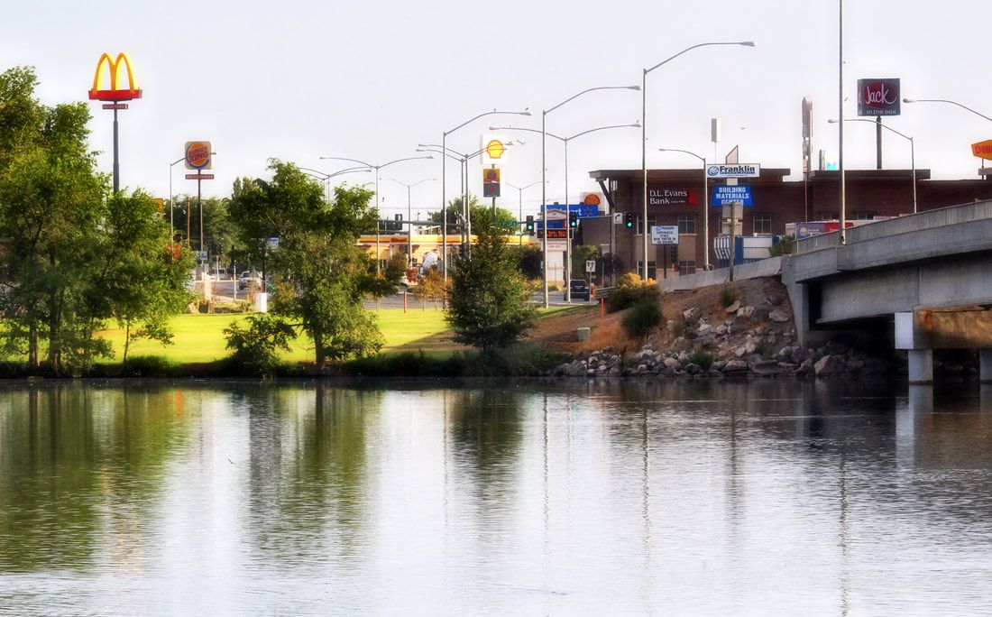
City of Burley
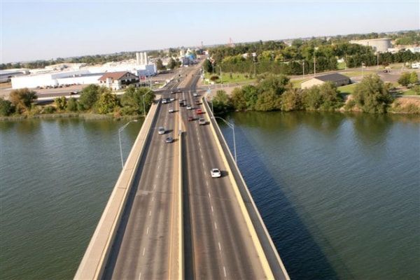
The City of Burley, founded in 1905, has a rich history. Its location, next to the mighty Snake River in the shadows of the mountains, has been a strategic place for centuries. With a population just over 10,000, Burley is the county seat for Cassia County. Burley is a farm, marketing and distribution center. Burley enjoys outdoor activities year round. In the summer, the beautiful Snake River is a haven for boaters and personal water craft. The mountains surrounding Burley are full of intense mountain biking and hiking trails, pristine lakes and hidden hot springs.
Burley offers many great amenities, a business friendly environment and welcoming and friendly atmosphere. The area's first permanent residents arrived in 1868 settling in Albion. Many Mormon pioneers, under the direction of Utah Territory Governor Brigham Young, arrived in the Oakley Valley a short time later. Cassia County was later founded on February 20, 1879 with Albion as the county seat.
There are two stories on how Cassia County got its name. One says it was named after a French explorer named DeCassia. The other says it was named after the Cassia plant that grows along the banks of the Snake River.
In 1905, David E. Burley, a Union Pacific Railroad passenger agent, conceived an idea of building a city along the Snake River where the railroad passed. Since Mr. Burley's work necessitated travel throughout the Midwestern United States, he influenced many farmers to migrate to this area.
Mr. Burley, along with. B. Perrine, established the town "Commerce." Its name was later changed to Burley where the county seat was subsequently moved in 1919 by public vote.
In the spring of 1984, because of the harsh winter and the early thaw, the Oakley Dam nearly burst. Had that taken place, it would have flooded the Oakley Valley all the way to the Snake River. The dry beds of Goose Creek, wherein lies Burley, also would have been flooded. However, it was avoided by the persistence of residents building a 30 mile canal to the Snake River in just a matter of days.
Office Phone:
(208) 654-2124
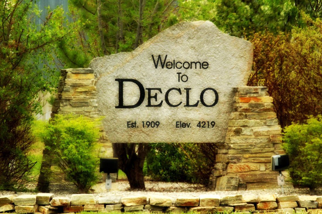
City of Declo
Where did they come up with a name like Declo? Legend has it Marshfield became Declo in April 1917. After it was decided, the city would be named with an acronym of the first letter of the last names of the next five people who walked into the General Store. Those people were a Dethlefs, Enyart, Cooley, and either a Logan or Lewis and an Osterhout or Olsen. The last two are where the controversy lies. There are five different versions of the story, depending on who you talk to.
Situated eight miles east of Burley on Hwy 81, Declo is one of two Mini-Cassia towns known as the home of the Hornets. The other is Oakley. Declo Elementary, Declo Junior High and Declo High School are all on the education campus at the southeast edge of town. Most students come from outside the city from as far away as Raft River and Albion, to attend school here. With a population of over 500, Declo is famous for its motto, "Our town; our people," and retains a small-town atmosphere residents treasure. The atmosphere is demonstrated during the community's one big celebration each summer on the second weekend of July—Declo Days. The all-day event includes a parade, community barbecue in the park, games for kids and a special patriotic tribute by veterans.
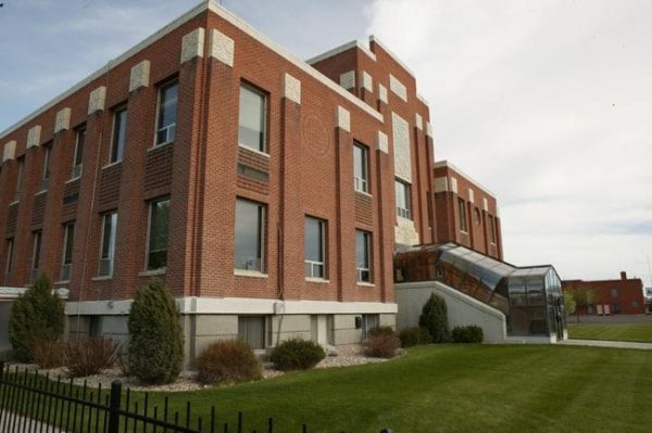
City of Heyburn
The City of Heyburn lies north of the Snake River and south of Interstate 84 between Idaho 30 and Idaho 27. It hosts several businesses, a police station, elementary school and post office. The Mini-Cassia Chamber of Commerce built it's new home and Visitor's Center in Heyburn since Heyburn's central location allows easy access to visitors and locals in both Minidoka and Cassia counties.
Mayor: Dick Galbraith
City Council: Chad Anderson, Joanne Justesen, Rose Smith, Rick Tundag
Office Phone:
(208) 679-8158
Population: 3,417
City of Malta
Situated in the heart of the Raft River Valley about 38 miles east of Burley, Malta is the center of activity for residents of eastern Cassia County stretching all the way to the Utah border. Much of Malta's events revolve around Raft River Elementary and Jr. and Sr. High Schools. The Raft River Trojans produce consistently top-performing athletes who take state titles at an alarming rate. Malta is a jumping-off point for hunting and other recreation in the vast wide open spaces of the Raft River Valley. Approximately 20 miles east of Malta on Forest Road, is Sublett - a popular area for its fishing and camping recreation.
Mayor: Tracy Bankhead
Council Members: Richard Hall, Margie Neff, Amador Maldonado, Tome Hogan
Population: 203
Cassia County Sheriff's Dept: (208) 878-2251
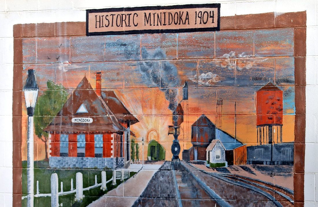
City of Minidoka
This tiny Minidoka County town, about 13 miles northeast of Rupert, has a big history. The city was established in 1884 as a mainline railroad siding. Until a 1906 fire destroyed more than half the town, it was the original county seat. In those days, Minidoka boasted 55 businesses, all of which sat on the north side of the Oregon Short Line Railroad track. Population then was 2,000 to 2,500. Minidoka is the southern entrance to the Great Rift area, with access road for anyone who like to go on desert explorations.
Office Phone: (208) 531-4101
Population: 120
City of Oakley
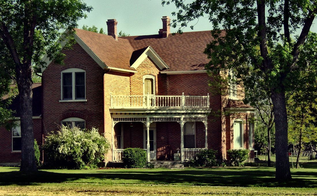
One of Cassia County's oldest communities, Oakley, is situated 20 miles south of Burley on Hwy 27. It is the western gateway to City of Rocks National Reserve and the eastern gateway to the South Hills, where an abundance of recreational opportunities abound all year round. This community is home of the world-famous Oakley Stone; Oakley Dam, the largest earthen filled dam in the world at its completion in 1911; the site of more historic homes per capita than anywhere in the U.S.; and the Oakley Valley Arts Council and Howells Opera House (one of the few continuously operating theatres built in 1907).The Oakley museum, on Main Street, is open May through Labor Day.
Office Phone: (208) 862-3313
Population:
821
City of Paul
The city of Paul is located north of Burley and west of Rupert at the junction of State Highways 27 and 25. It was laid out by the U.S. Bureau of Reclamation as part of the Minidoka Irrigation project. The town is the hub of a vast farming area to the north and offers full services., groceries and restaurants and a new city park.
Office Phone: (208) 436-9600
Population: 1,320
Mayor: Michael D. Brown
Council Members: Craig Swensen, Kris Faux, Tammy Jones, Joel Heward
Office Phone:
(208) 436-9600
Population:
5,796
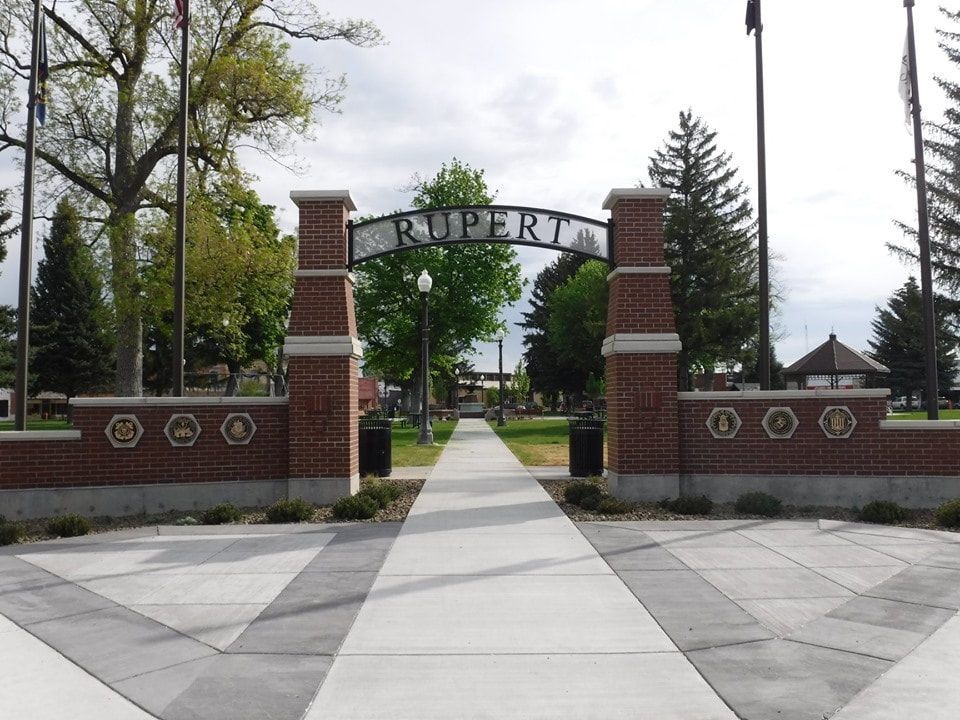
City of Rupert
The City of Rupert is the county seat of Minidoka County and its largest city.
Rupert is strategically located 45 miles from Twin Falls, Idaho, 160 miles from Boise, Idaho and 180 miles from Salt Lake City, Utah. The City is easily accessible to Interstate 84 which is only 4.5 miles from the city center; the interstate road system is accessed via State Highway 24 and State Highway 25. These two highways provide two separate access points to I-84. All of the City’s commercial and industrial areas are therefore easily accessed by this well-established road system.
The center of Rupert’s Historic Business District is listed on the National Register of Historic places and surrounds a beautiful town square, also on the historic register. The Historic Rupert Square is an active place featuring many business and community events throughout the year. An endearing landmark on Rupert Square, this Spanish Revival performing arts venue has a distinctive flatiron silhouette and exquisite architecture.The Wilson Theatre was completed as a vaudeville stage in 1920 and after being listed on the National Register of Historic Places has spent much of the last two decades undergoing a painstaking restoration.Just passing by on the street you can check out the exquisite Plateresque moldings adorning the entrance arcade, the window openings and the balustrade on the roof.The theatre is a wonderful venue for plays, musicals, dance performances and concerts, but also conventions, meetings, book signings, art exhibits and much more.
The City of Rupert has a very proactive mayor and city council who encourage business growth and development. Rupert views measured industrial growth as an essential part of its future and strives to offer maximum incentives to new, viable industry. For decades, Rupert has been the location of major cheese production facilities including Brewster West which produces cheese curds, swiss cheese, and approximately 27 million lbs. of cheese that is sold to the “Kellogg’s” company. Other major industries include the Idahoan potato processing facility, large potato fresh pack plants, and a Les Schwab tire production facility.
Cassia County
The area's first permanent residents arrived in 1868 settling in Albion. Many Mormon pioneers, under the direction of Utah Territory Governor Brigham Young, arrived in the Oakley Valley a short time later. Cassia County was later founded on February 20, 1879 with Albion as the county seat.
There are two stories on how Cassia County got its name. One says it was named after a French explorer named DeCassia. The other says it was named after the Cassia plant that grows along the banks of the Snake River.
In 1905, David E. Burley, a Union Pacific Railroad passenger agent, conceived an idea of building a city along the Snake River where the railroad passed. Since Mr. Burley's work necessitated travel throughout the Midwestern United States, he influenced many farmers to migrate to this area.
Mr. Burley, along with. B. Perrine, established the town "Commerce." Its name was later changed to Burley where the county seat was subsequently moved in 1919 by public vote.
In the spring of 1984, because of the harsh winter and the early thaw, the Oakley Dam nearly burst. Had that taken place, it would have flooded the Oakley Valley all the way to the Snake River. The dry beds of Goose Creek, wherein lies Burley, also would have been flooded. However, it was avoided by the persistence of residents building a 30 mile canal to the Snake River in just a matter of days.
Minidoka County
What is now Minidoka County was first surveyed in 1890 for a plausible location to construct a dam. On June 7, 1902, President Theodore Roosevelt signed the Reclamation Act allowing construction of the dam. In 1904, the Reclamation Service reserved three-one square mile town sites for Burley, Rupert, and Riverton (now known as Heyburn).
The Minidoka Dam was finished on July 1, 1906, giving irrigation water to thousands of acres of desert. In 1909, Rupert was incorporated and had its first election. Rupert is perhaps most well-known for its town square. Rupert has also gone under major community development sponsored by the Rupert Renaissance Committee.
Between 1943 and 1959, 7,300 acres were divided into 72 farm units. By lottery, they were given to military veterans in what was the largest homestead project in United States history.
Copyright © 2021
Mini-Cassia Chamber of Commerce
All Rights Reserved.
GET IN TOUCH
P: 208-679-4793
F: 208-679-4794
1177 7th Street
Heyburn, ID 83336